Log in
All resources
Create a design
52,957 Free Images of Maps Facing West
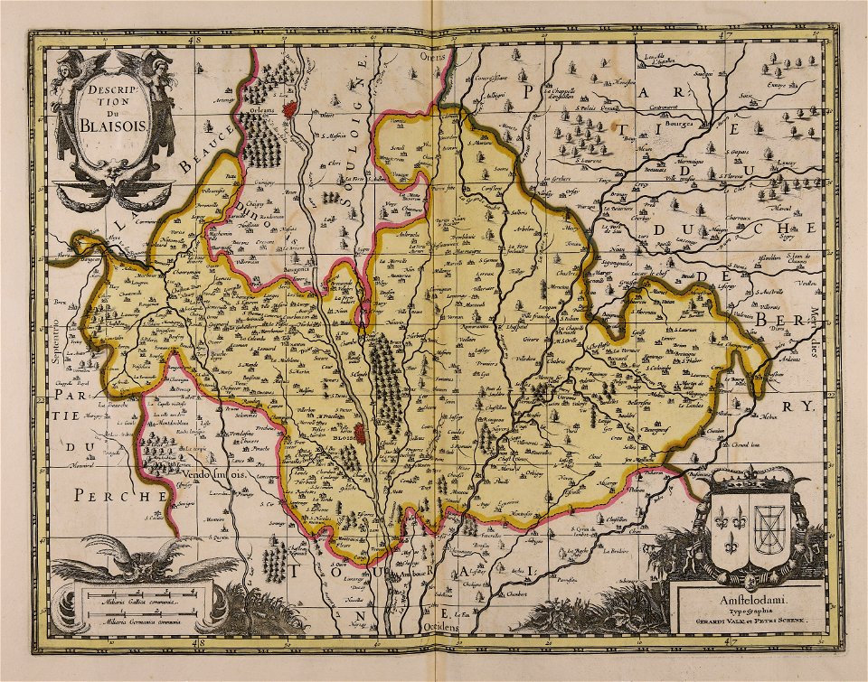
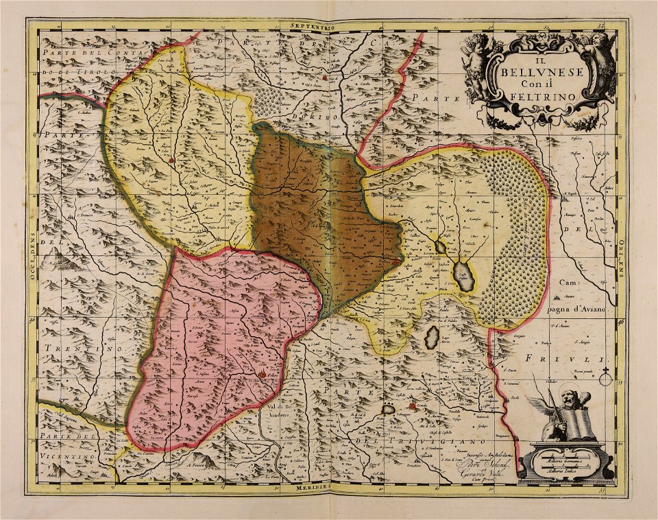
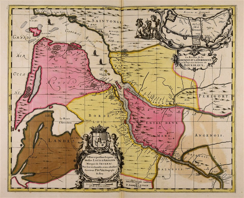
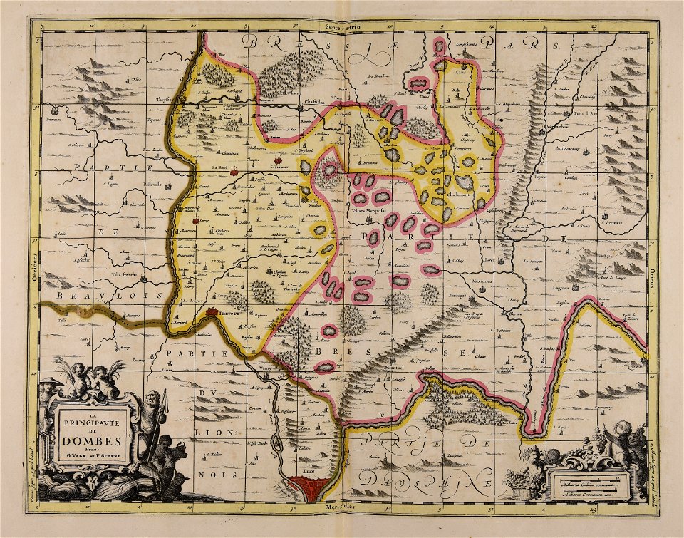
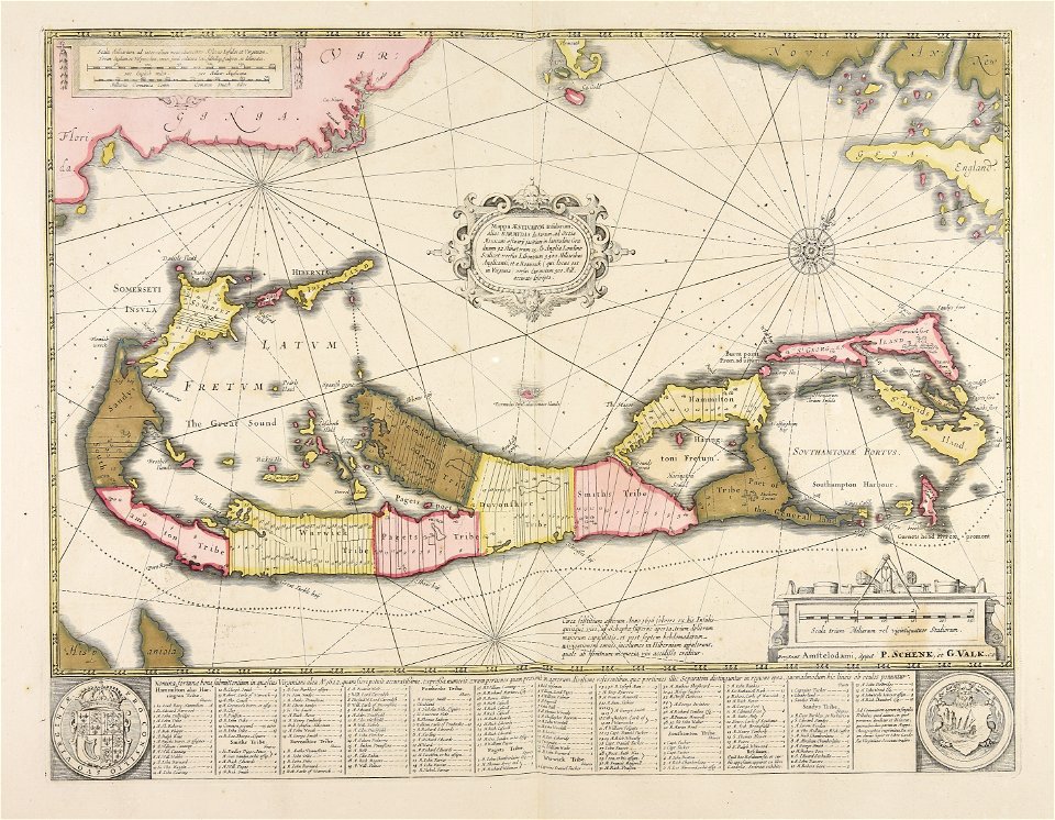
maps made in the 17th century
maps by pieter schenk (i)
gerard valck
atlantis magni tomus quartus (biblioteca comunale di trento)
atlantis magni tomus quintus (biblioteca comunale di trento)
portrait
oil on canvas
maps made in the 18th century
johann baptist homann
oil on panel
portrait paintings in the bristol city museum and art gallery
rolinda sharples
portrait of voltaire (nicolas de largillière - versailles mv 8159)
baroque
16th-century portrait paintings in the national portrait gallery, london
arnold van bronckorst
paintings by marie-guillemine benoist
neoclassicism
portraits of louis, dauphin of france by maurice-quentin de la tour
rococo
lucrezia de' medici
mannerism
anne of austria - workshop of peter paul rubens - rijksmuseum sk-c-296
workshop of peter paul rubens
hall of balliol college, oxford
david martin (artist)
portrait paintings by élisabeth vigée-lebrun (french nobility)
female portraits by élisabeth vigée-lebrun
19th-century portrait paintings in national trust places
paintings in powis castle
male portrait paintings by alexander roslin
rococo
18th-century oil on canvas paintings in the united kingdom
male portrait paintings by godfrey kneller
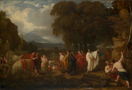
ancient history paintings by benjamin west
archimedes
jean-baptiste wicar
neoclassicism
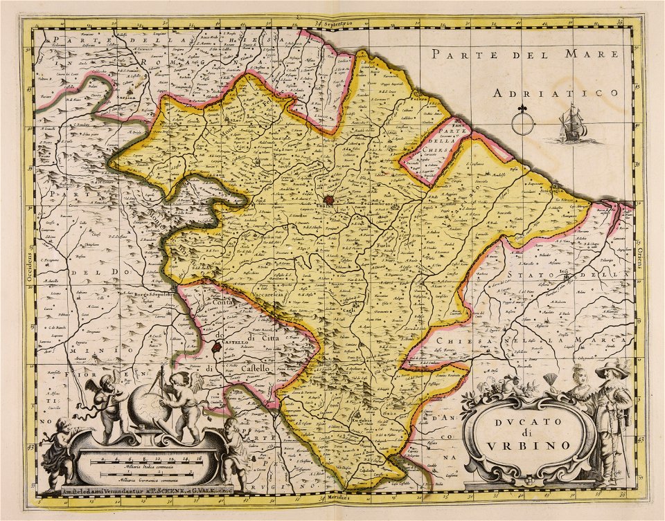
carta hydrographica y chorographica de las yslas filipinas
baroque painting
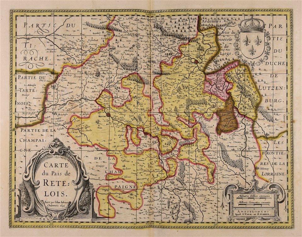
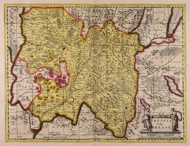
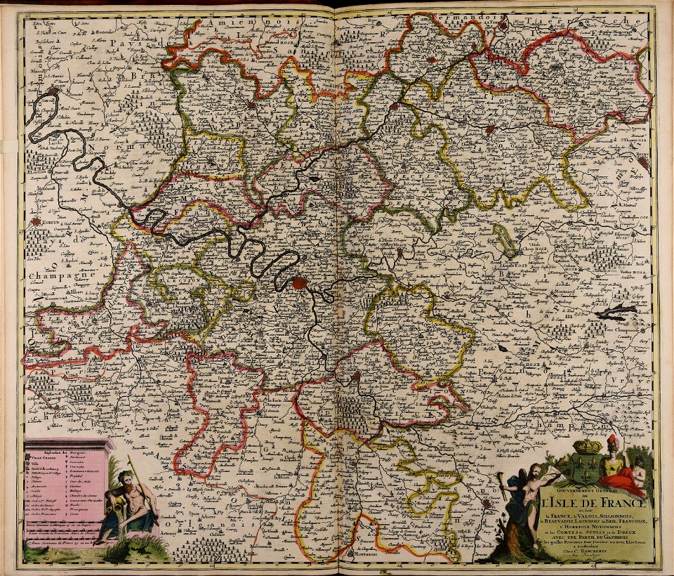
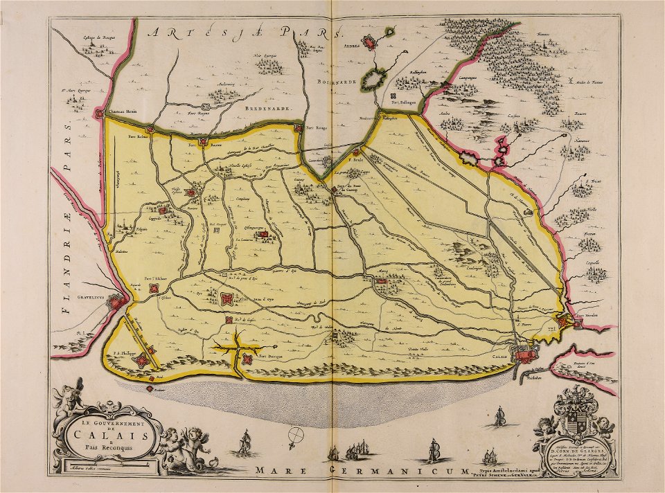
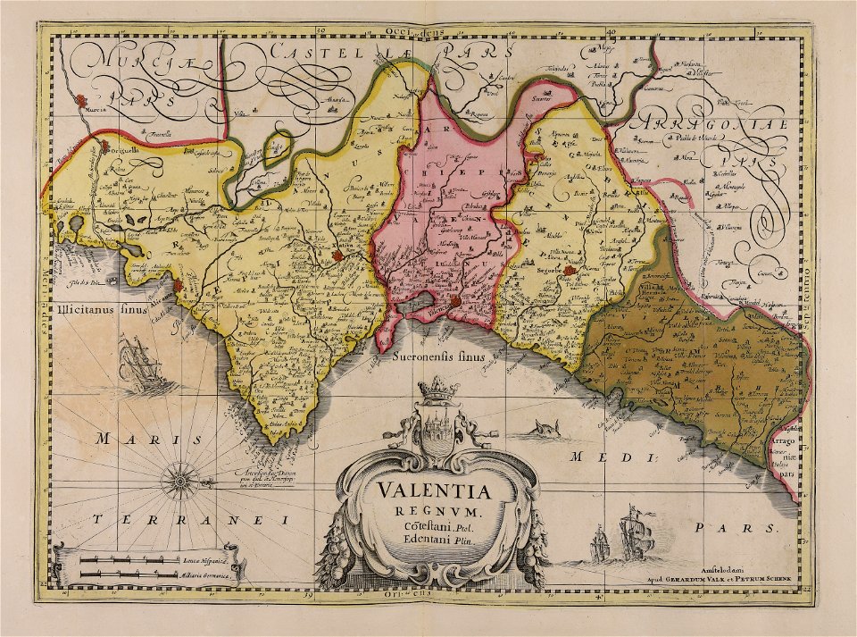
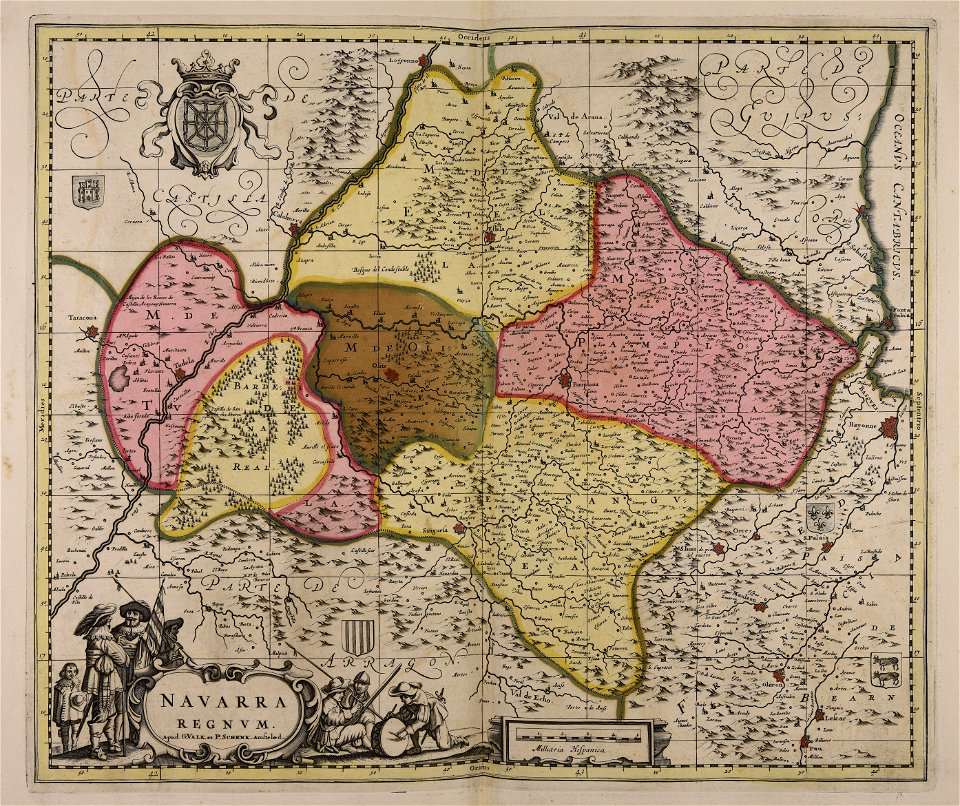
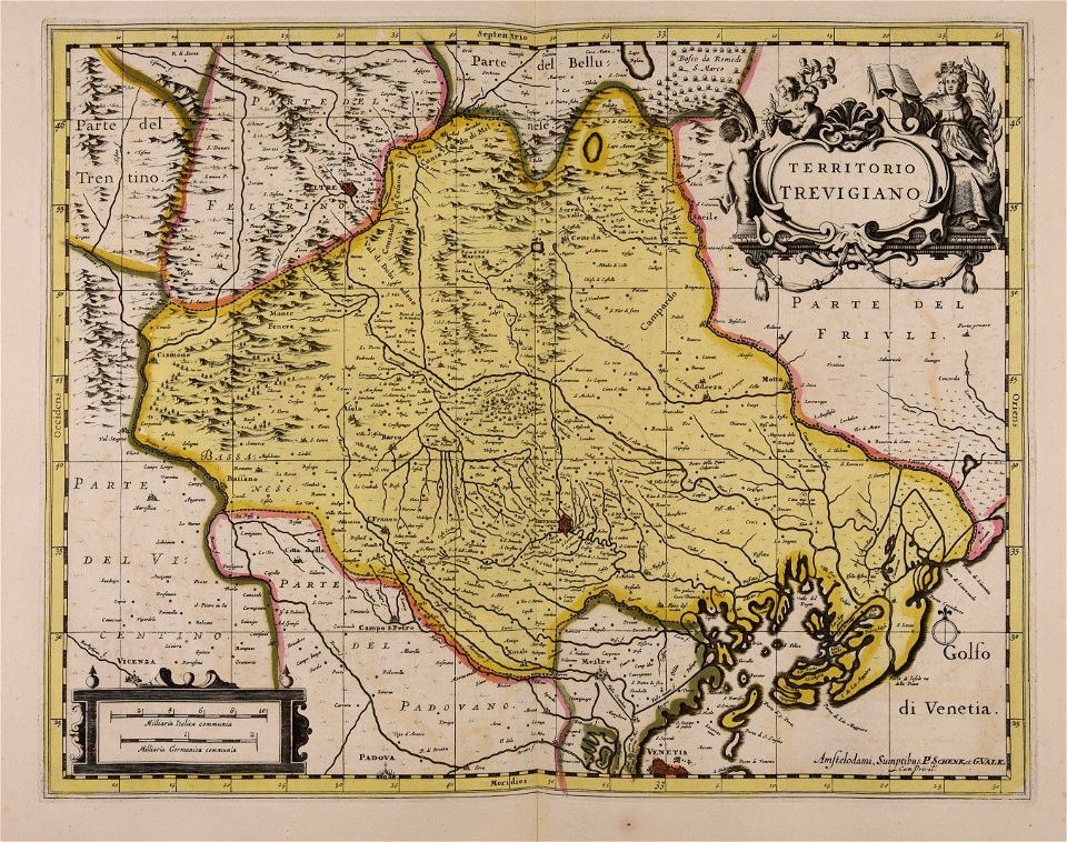
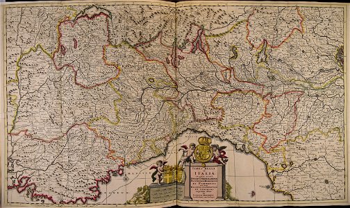
maps made in the 17th century
gerard valck
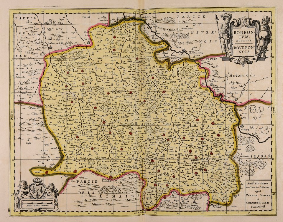
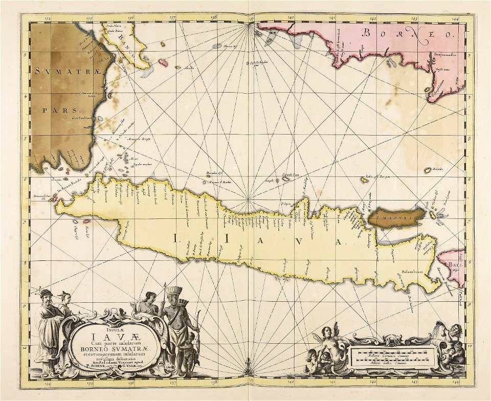
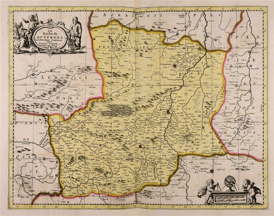
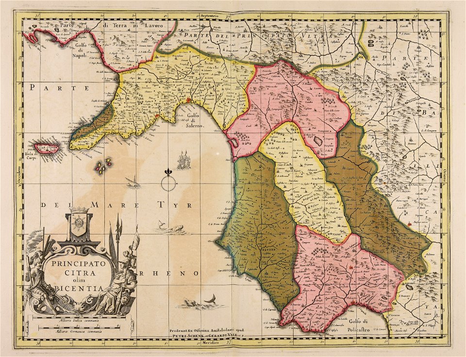
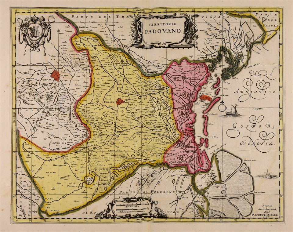
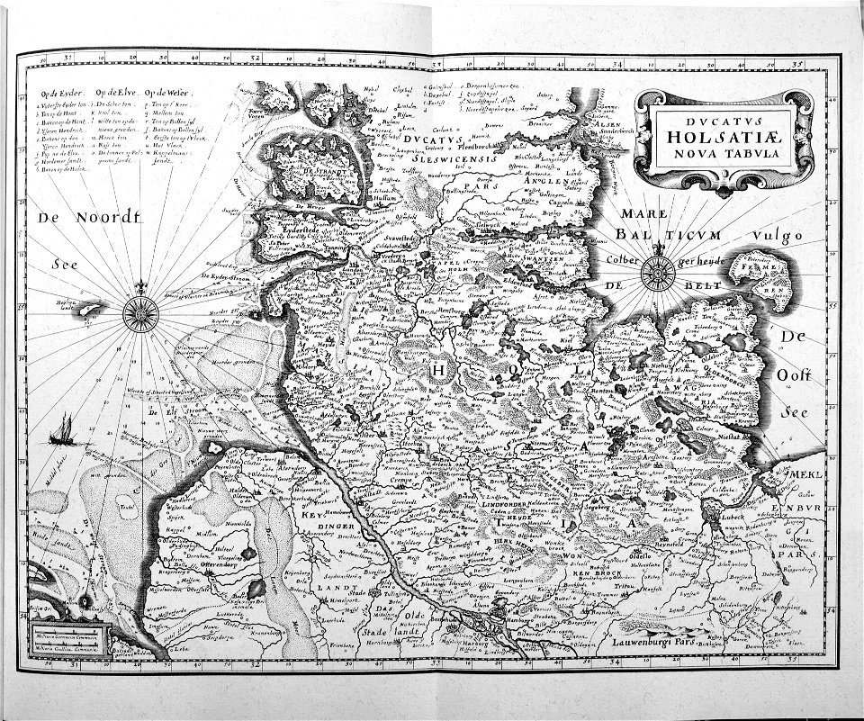
maps made in the 17th century
gerard valck
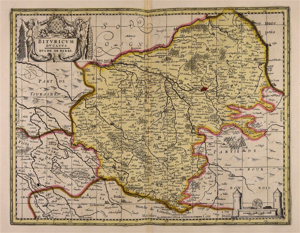
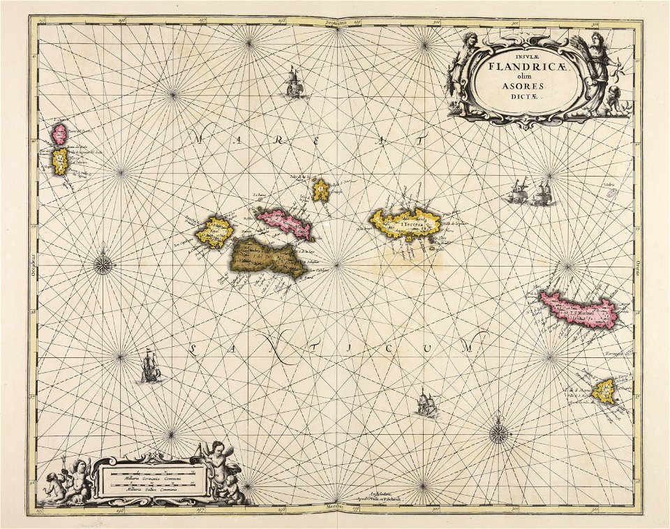
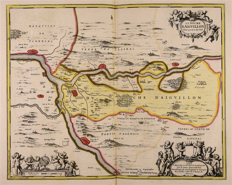
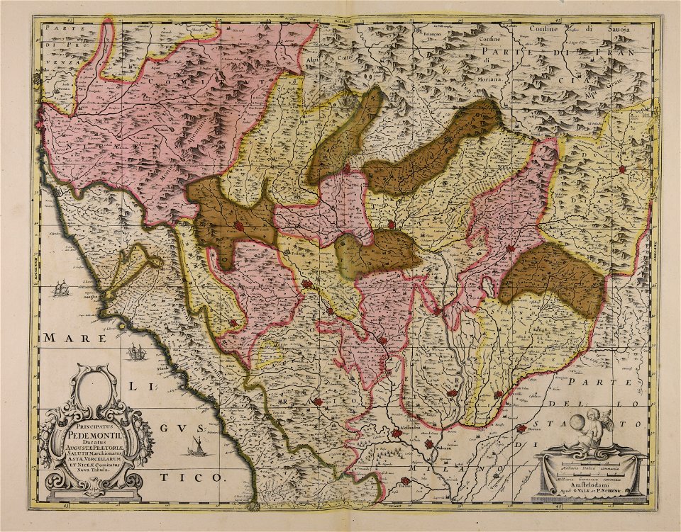
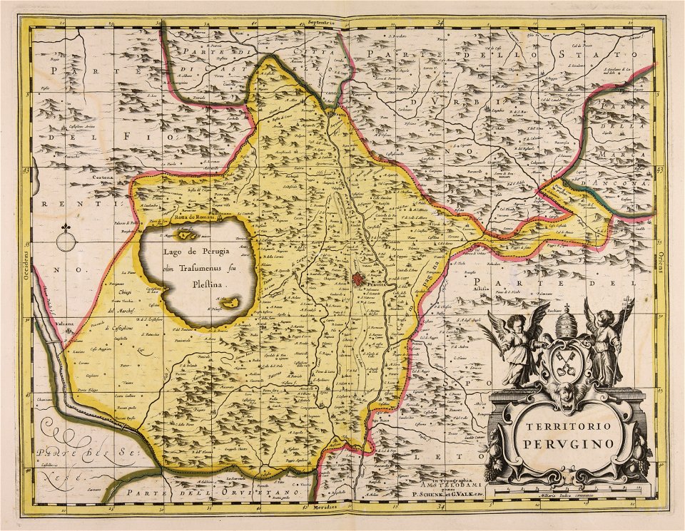
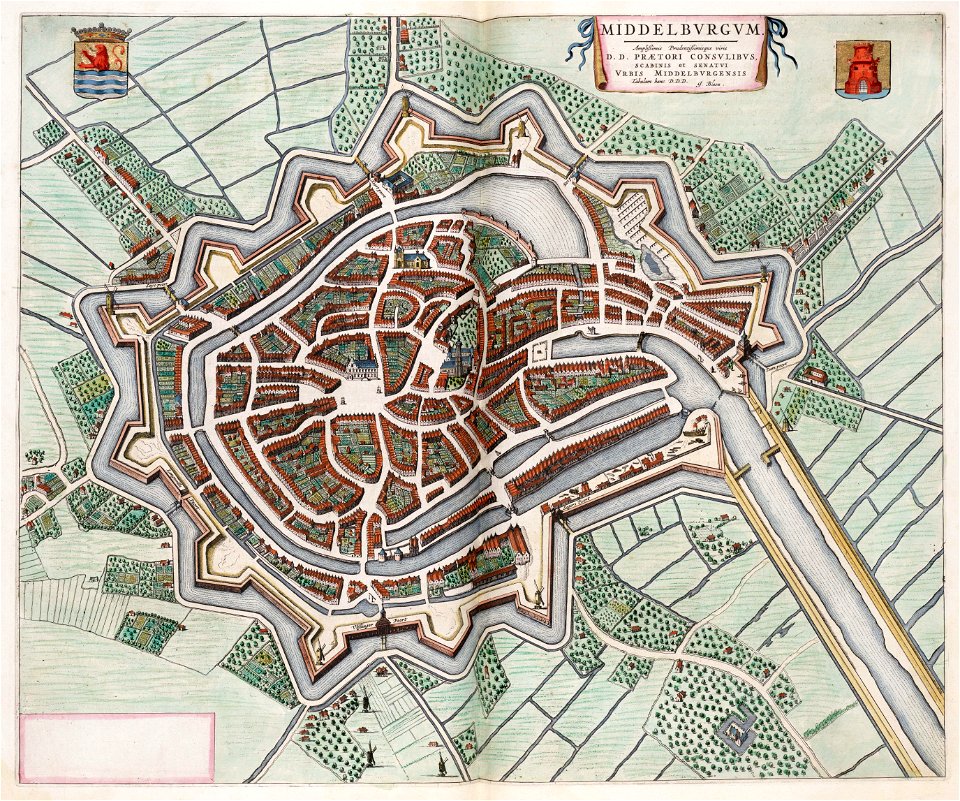
maps made in the 17th century
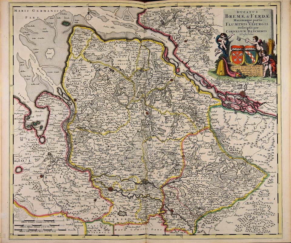
cornelis danckerts (ii)
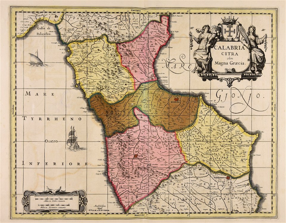
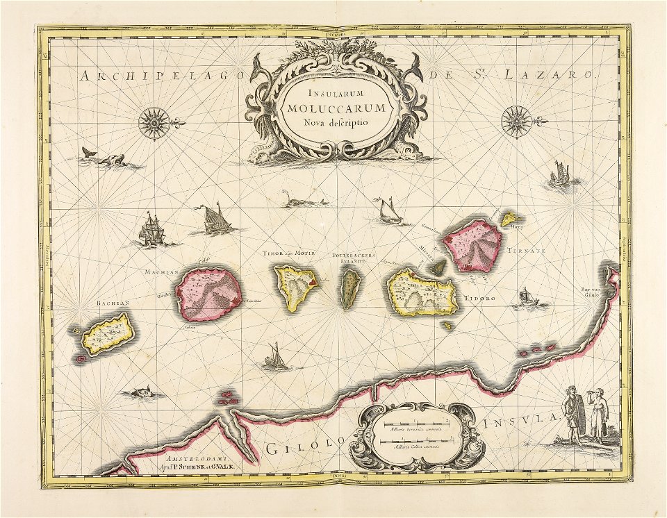
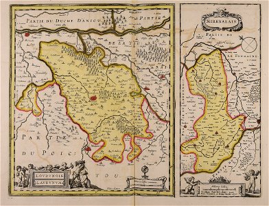
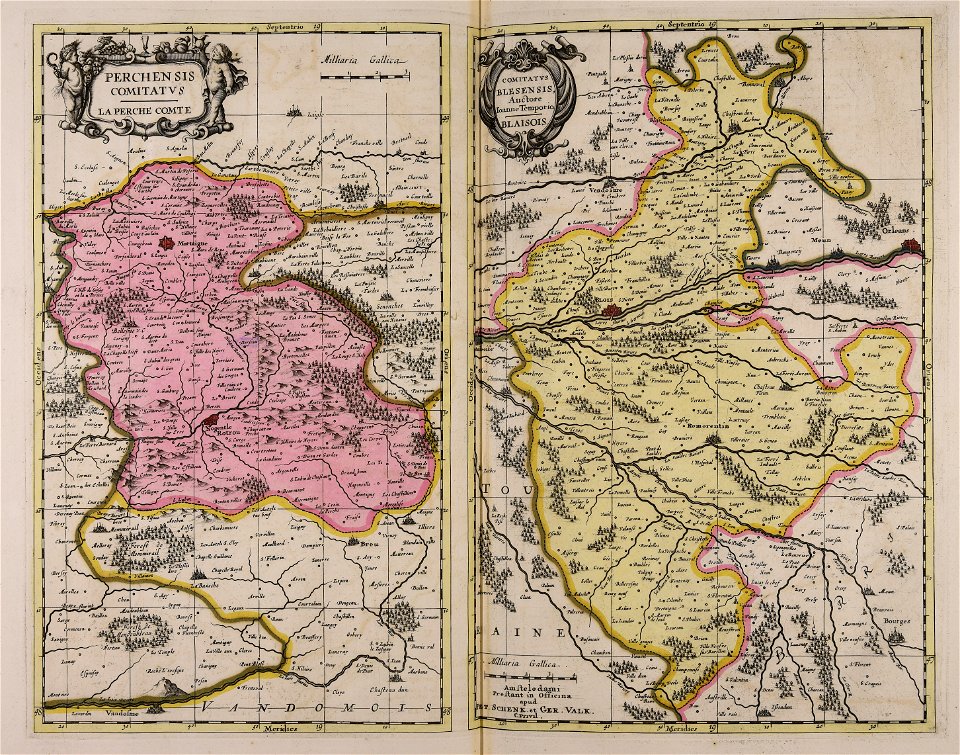
maps made in the 17th century
gerard valck
sala del mappamondo (palazzo vecchio)
ignazio danti
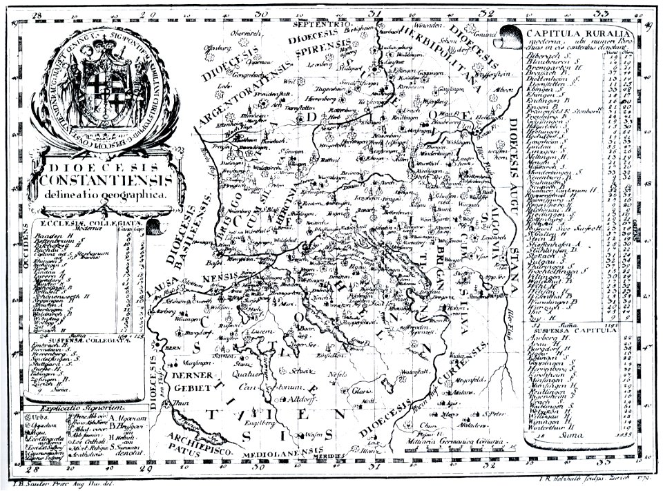
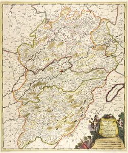
bishopric of constance
1779 in germany
georg balthasar probst (1732-1801)
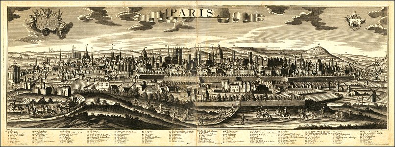
historical views of paris
maps made in the 17th century
gerard valck
collections de la bibliothèque nationale et universitaire de strasbourg
johann baptist homann
mobile river
alabama
maps made in the 17th century
gerard valck
maps made in the 17th century
gerard valck
maps made in the 17th century
gerard valck
maps made in the 17th century
gerard valck
maps made in the 17th century
gerard valck
maps made in the 17th century
gerard valck
maps of the united kingdom of great britain and ireland
ireland in the 1900s
maps made in the 18th century
maps by pieter schenk (i)
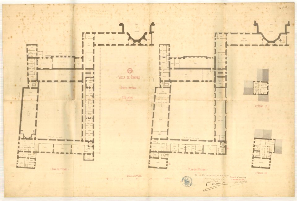
jean-baptiste martenot
old maps of rennes
maps made in the 17th century
gerard valck
maps made in the 17th century
gerard valck
maps made in the 17th century
gerard valck
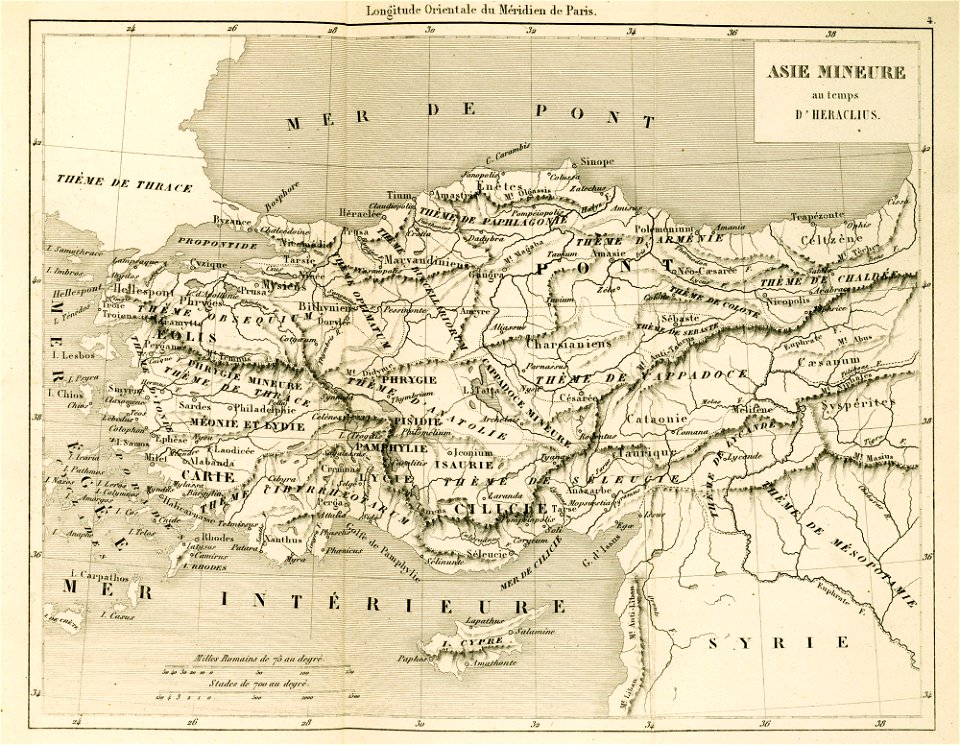
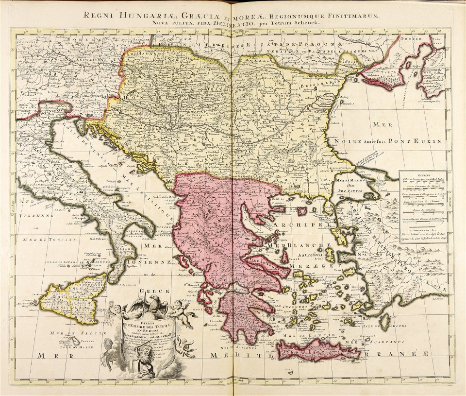
maps of the byzantine empire
maps of anatolia
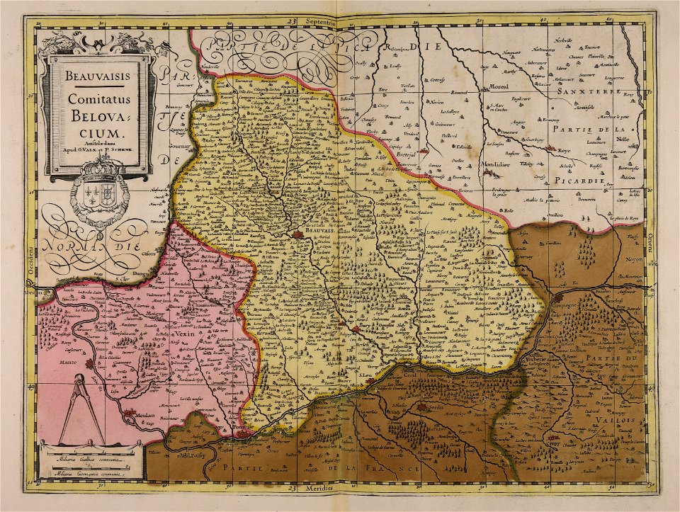
maps made in the 17th century
gerard valck
old maps of pomerania
rudens
maps with cartouches
covens en mortier
amsterdam in the 1680s
maps with cartouches
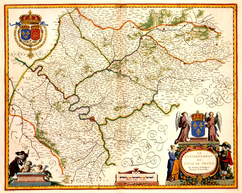
17th-century maps of france
maps with cartouches
maps made in the 17th century
gerard valck
maps made in the 17th century
gerard valck
maps made in the 17th century
guillaume sanson
maps made in the 17th century
guillaume sanson
maps of antwerp city walls
old maps of antwerp
old maps of frankfurt am main
johann baptist homann
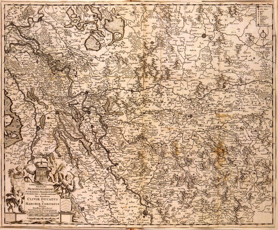
old maps of north rhine-westphalia
lower rhine region
maps made in the 17th century
cornelis danckerts (i)
maps made in the 17th century
gerard valck
maps made in the 17th century
gerard valck
old maps of north brabant
old maps of south holland
old maps of south holland
merwede
maps made in the 17th century
gerard valck
maps made in the 18th century
terra santa
maps made in the 17th century
gerard valck
maps made in the 17th century
gerard valck
maps made in the 17th century
gerard valck
maps made in the 17th century
gerard valck
maps made in the 17th century
gerard valck
maps made in the 17th century
gerard valck
maps made in the 17th century
gerard valck
maps made in the 17th century
gerard valck
maps made in the 17th century
gerard valck
maps made in the 17th century
gerard valck
maps made in the 17th century
gerard valck
maps made in the 17th century
gerard valck
maps made in the 17th century
gerard valck
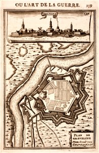
prints from manesson travaux de mars at the peace palace library
fortifications in france
atlantis magni tomus quintus (biblioteca comunale di trento)
maps made in the 17th century
maps made in the 17th century
gerard valck
maps made in the 18th century
gerard valck
maps made in the 17th century
gerard valck
maps made in the 17th century
gerard valck
maps made in the 17th century
gerard valck
maps showing history
corfu
maps made in the 17th century
gerard valck
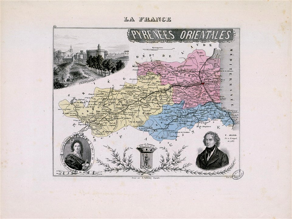
hyacinthe rigaud
françois arago
maps made in the 17th century
gerard valck
maps made in the 17th century
gerard valck
maps showing history
corfu
maps made in the 17th century
gerard valck
maps made in the 18th century
johann baptist homann
maps made in the 18th century
gerard valck
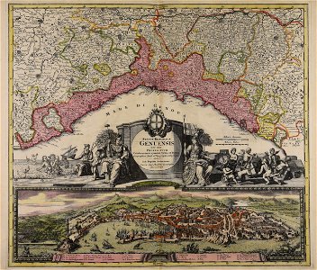
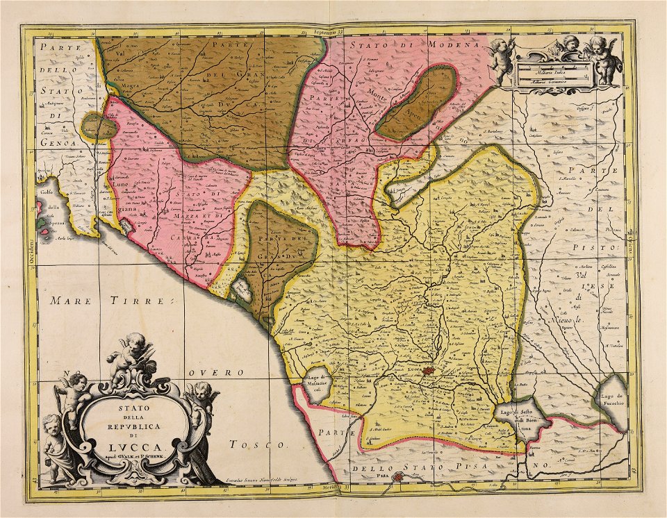
republic of lucca
gerard valck
maps made in the 17th century
gerard valck
maps made in the 17th century
gerard valck
maps made in the 17th century
gerard valck
maps made in the 17th century
gerard valck
maps made in the 17th century
gerard valck
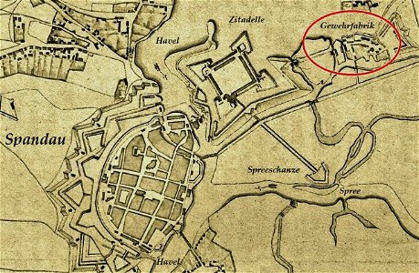
historical documents of the spandau citadel
festung spandau
1780 in south america
1780 maps
atlantis magni tomus quartus (biblioteca comunale di trento)
maps made in the 17th century
engravings of topographia saxoniae inferioris
maps of hamburg-langenhorn
maps made in the 17th century
gerard valck
maps by willem and johannes blaeu
coats of arms of zeeland
maps made in the 17th century
gerard valck
maps made in the 17th century
gerard valck
7001 - 7100 of 52,957
Next page
/ 530